Half the lots we test in Frisco sit right on top of the Austin Chalk, and the other half are in deep residual clay over limestone. That contrast isn't academic—it changes your site class in a single street block. We run seismic tomography (refraction and reflection) to map the bedrock profile and identify cavities before the excavator even shows up. A standard boring program misses the lateral changes between boreholes; a CPT test gives you a continuous profile at one point, but tomography fills in the gaps across the entire pad. With Frisco adding over 6,000 new residential units in 2024 alone, the pressure to de-risk foundations has never been higher. Our crew has shot lines from the PGA headquarters corridor all the way east to Lavon Lake clay zones.
In Frisco’s chalk-and-clay transition zone, two lots 300 feet apart often end up in different ASCE 7 site classes. Tomography catches that shift.
Our approach and scope
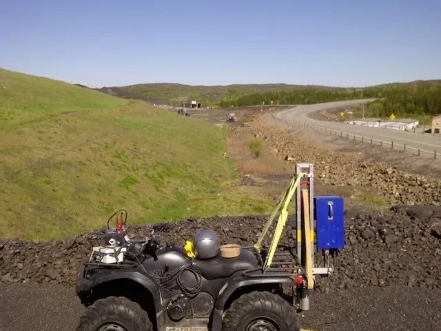
Frisco’s growth from a railroad stop to a city of 230,000 meant paving over the natural drainage of the Stewart Creek watershed. That history matters. Many commercial pads near the Stonebriar Centre are built on cut-and-fill sections where the fill thickness varies by 10 feet over 100 lateral feet. Seismic refraction tomography gives us a continuous P-wave velocity cross-section that flags the fill/native interface with precision you can’t get from drill logs alone. We deploy 24- or 48-channel seismographs with geophone spacing as tight as 5 feet for high-resolution work. For deeper targets—like mapping the top of the Woodbine Sandstone below 80 feet—we switch to reflection acquisition with a hammer-and-plate source or, when permitted, a small Betsy gun. The velocity models feed directly into Vs30 calculations under IBC and ASCE 7-22, which determines your seismic design category. Every dataset goes through first-break picking, tomographic inversion, and a joint interpretation with any available boring logs to ground-truth the velocities.
Local geotechnical context
The east side of Frisco, around the US-75 corridor, sits on deeper clay over weathered chalk. The west side, toward the Tribute and PGA Parkway, hits competent limestone much shallower. That difference creates a real risk when a developer assumes one site class for the whole subdivision. We’ve seen cases where a builder designed for Site Class C and the actual conditions on three lots came back as Site Class D—because the chalk was fractured and saturated, dropping the average shear-wave velocity. Putting a slab-on-grade over a hidden dissolution cavity is the other big one. The chalk in Collin County has documented karst features; a cavity roof collapse during construction means a day-zero claim against your GL policy. Seismic tomography finds these voids as low-velocity anomalies before they find you. For excavation near existing structures, the velocity model also helps predict rippability and dewatering needs, so the earthwork contractor bids the right equipment from day one.
Quick answers
How much does a seismic refraction survey cost for a typical Frisco commercial lot?
For a single-family pad or small commercial site in Frisco, a refraction survey with 2–3 spreads generally runs between US$2,700 and US$4,600. The final number depends on line length, geophone spacing, and whether we need to clear brush or coordinate with active construction traffic. Sites with difficult access or night-work requirements fall toward the upper end.
Can seismic tomography tell me my site class without drilling any borings?
Yes—with a caveat. Seismic methods measure velocity, which we convert to Vs30 for ASCE 7 site classification. If you already have one boring to confirm the lithology (chalk vs. clay vs. sandstone), the velocity model becomes much more reliable. Without a boring, we use reasonable lithology assumptions based on published geology maps for Collin County, but the structural engineer usually wants at least one calibration point.
How long does a refraction survey take on site, and how soon do we get the report?
Field work for a typical commercial lot takes one day. A multi-spread survey with 24 or 48 channels and hammer source lays down roughly 500 to 1,000 linear feet of profile per day. Data processing and tomographic inversion add 3–5 business days. The full sealed report, including Vs30 maps and interpreted bedrock surface, is in your inbox within a week of field completion—faster if the project is on a tight bid schedule.
What’s the difference between refraction and reflection, and which one do I need in Frisco?
Refraction maps the top of competent rock and the thickness of overburden; it works best when velocity increases with depth. Reflection images deeper interfaces and can detect low-velocity zones like cavities. In Frisco’s Austin Chalk, we often start with refraction for foundation design and add a short reflection line if the velocity tomogram shows a suspicious low-velocity anomaly that could be a void. The combined dataset gives you both the bedrock profile and a cavity scan.
Do you need a permit to run seismic lines on a Frisco site, and who handles it?
On private property, no permit is typically required—the survey is non-invasive and uses a hammer plate or small impact source. If the line extends into a City of Frisco right-of-way or a TxDOT easement, a right-of-way permit is needed. We handle the permit application and coordinate with the city’s engineering department. The turnaround on a ROW permit in Frisco is usually 3–5 business days.